Every federal mining claim, on your map.
Active BLM mining claims by section, the PLSS township and section grid, federal and state land ownership, wilderness and mineral withdrawals: beside your own claims and data. Land data is part of every paid project.
No credit card · your first 30 days are free, with everything unlocked
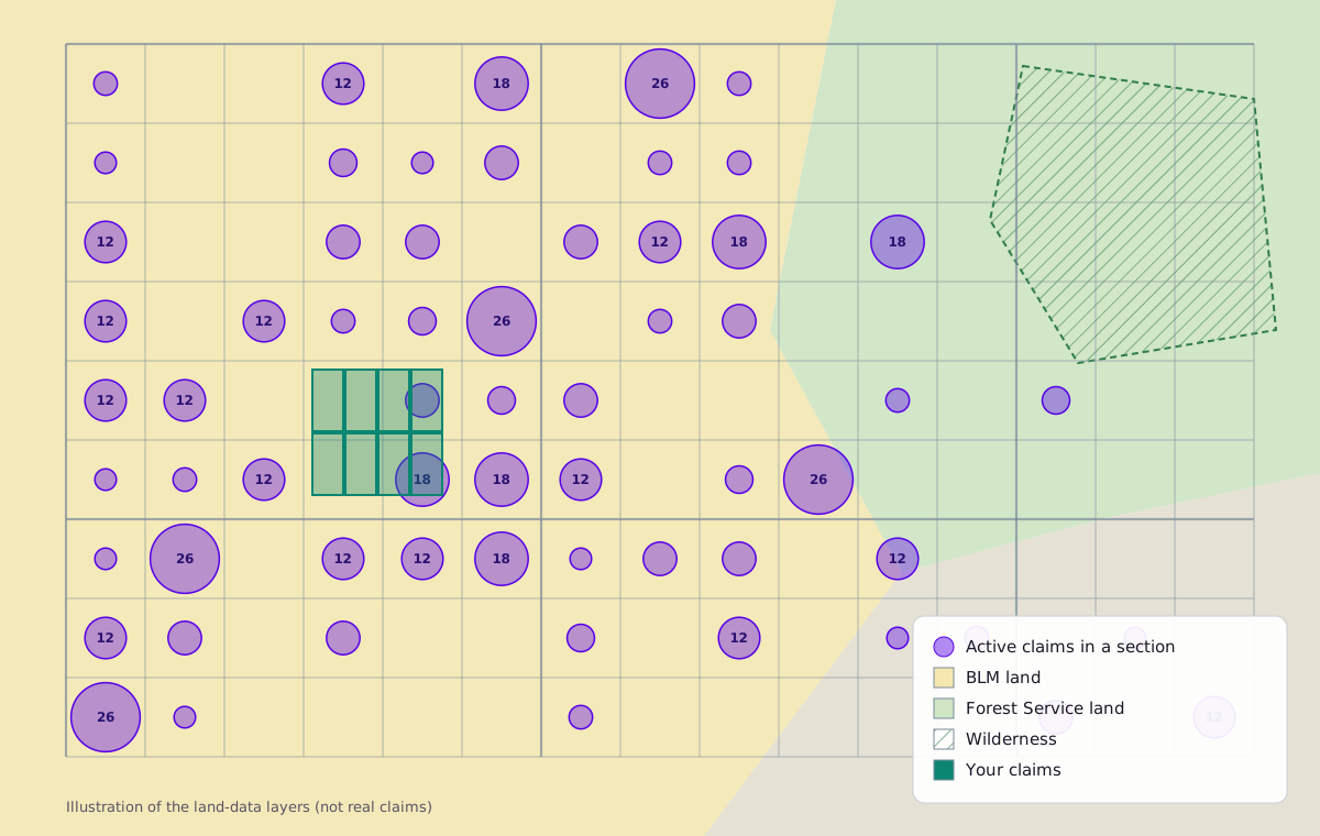
Every active BLM claim, counted by PLSS section, with claim names, serial numbers and acreage.
Townships and sections from BLM's cadastral data, labelled, so you can read any legal description against the ground.
Federal and state land ownership: BLM, Forest Service and state land, so you can see where claims can go.
Wilderness, wilderness study areas and mineral withdrawals, overlaid on ownership.
A convenience copy synced from the agencies, not authoritative land status. Check BLM's own records before you stake.
The layers sit beside your own claims, holes and samples, with a legend and the claims in view.
The geoDB plugin streams the same layers into your QGIS project.
Ask about the claims around your ground and Petra reads the same data.
Land data comes with every paid project.
Pay for what each project is doing. Any plan turns land data on for your company.